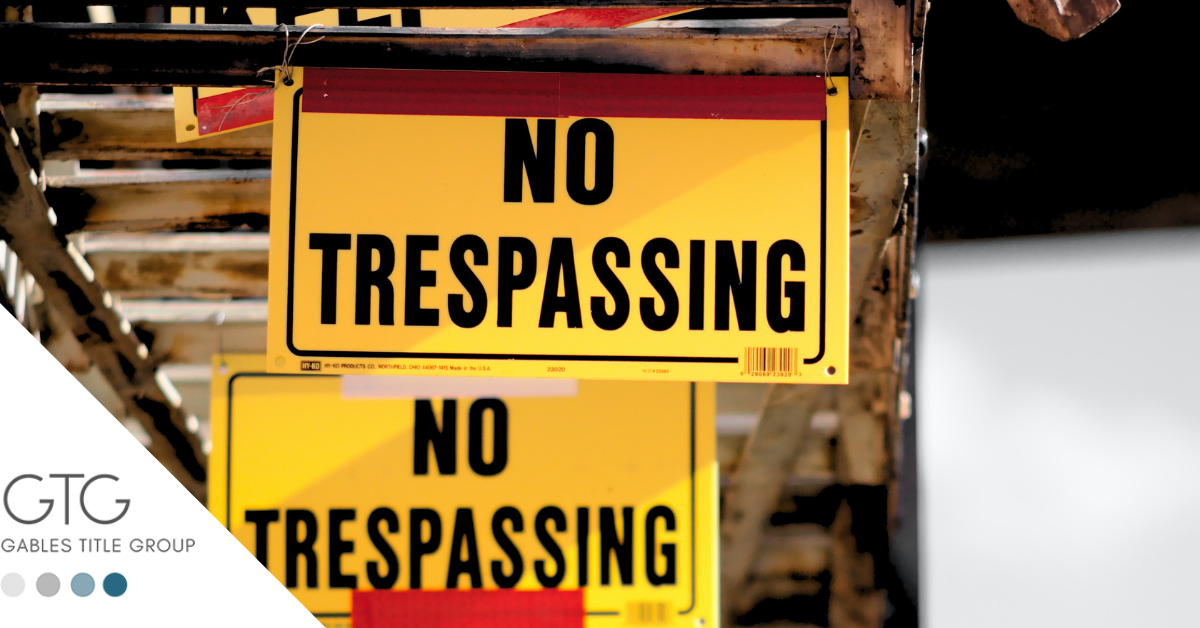
Some people don’t know what boundaries are. We know, they make us uncomfortable too. Boundaries to your personal property are something sacred and necessary. The same goes for private property and commercial property. If there are conflicting views about boundary lines you may need to commission a survey of your property. What does that mean? A boundary survey is a way to formally define the boundaries of a property, focusing largely on defining the corners of a parcel of land. Things that are being considered in a boundary survey: Lot dimensions are observed from the deed, survey drawings, this shows the exact lines of the property. What’s included? The boundary survey should include any improvements made on the land by previous owners, like sheds, garages, pools, or other permanent changes on the property. Fences are also great boundaries. As the saying goes: “Good fences make good neighbors”. More than just physical divisions between your property and the neighbor’s are sometimes included in boundary surveys. Easements can also be included in the boundary survey, especially if they have a copy of the title commitment.
A boundary survey has several steps:
- Each corner of the property is verified and visually located.
- The surveyor could put a visual marker in place to make it easy to see across any part of the property.
- Once the markers are in place, the surveyor may also spray paint the corners to ensure the visibility needed for the survey.
- The surveyor will take note of specific encroachments as laid out by the proprietor at the time of commission.
What are the potential complications associated with an unreliable survey?
- Title defects and inability to transfer ownership.
- Disputes with neighbors about boundaries.
- Encroachment disputes with local companies that offer your property’s water and electricity.
If you need help when you purchase or refinance your real property, Gables Title Group can make the difference between closing or losing the deal.


Leave a Comment